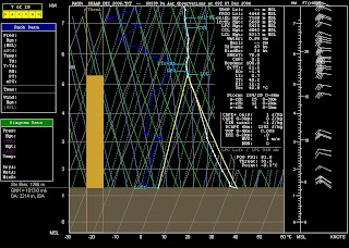
Look at the thin cu cloud level @ +- 5,500 MSL (left hand column). The thermal tops (2nd colum from left) were @ 5,280 MSL which corresponds to a Valic tracklog.
The max thermal prediction was also pretty much spot on. Zero probability of thunderstorms; minor sheer layers and fantastic wind gradient.

No comments:
Post a Comment